Description
Expert 2 day drone training course, designed for aerial inspectors and surveyors.
Learn how to create 3D models for measurement and analysis from images captured with a drone using Pix4D. Ideal for environment mapping, volumetric measurements, and time-lapse scans.
To book a date, please contact [email protected].
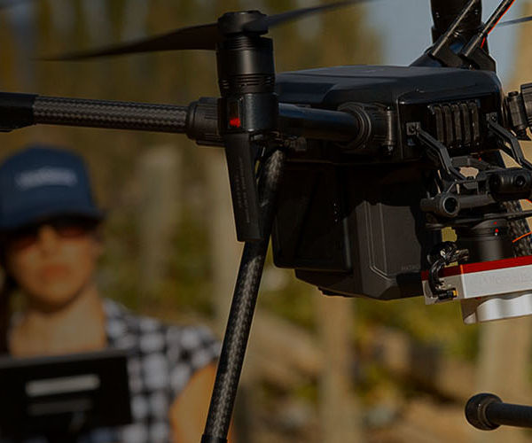
The Drone Mapping Training Course is a comprehensive training course for pilots interested in creating 3D maps and models with their drone. The course introduces delegates to aerial data capture and analysis.
Drone Mapping involves the use of visual data to create models for mapping, measurement and analysis. This enables operators to create accurate visualisations of physical environments. Once trained, pilots are able to use these for applications including:
- Land registry mapping
- 3D environment mapping
- Topography
- Boundary mapping
- Time-lapse site scans
- Volumetric measurements
Course Content
This comprehensive course uses the latest software to demonstrate how to use a drone for land mapping and surveying. Through both theory and practical exercises, delegates will gain an understanding of aerial data capture and how to use specialist software for analysis.
Firstly, the course will introduce delegates to the basics of drone mapping and its requirements, before discussing the type of equipment suitable for this. In addition, delegates will gain an understanding of different aerial capture techniques. The course also provides an introduction to post-processing and data analysis.
Delegates completing the Drone Mapping Training Course will gain the fundamental skills and knowledge to capture high-quality aerial images. They will also have an understanding of how to convert these images into accurate orthomosaics and point-clouds.
iRed’s expert instructors have a range of experience in this sector. As such, this course has been designed in close collaboration with industry, delivering a well-balanced training experience which is relevant to current and emerging commercial needs.
Who Should Attend
The Drone Mapping Course is designed for drone pilots in possession of their Permissions for Commercial Operations (PfCO), or General VLOS Certificate (GVC) looking to expand their current services to include mapping and surveying. This course is also suitable for existing surveyors and inspectors who want to learn how to include the use of drones within their current procedures.
Bespoke Training