


iRed Limited
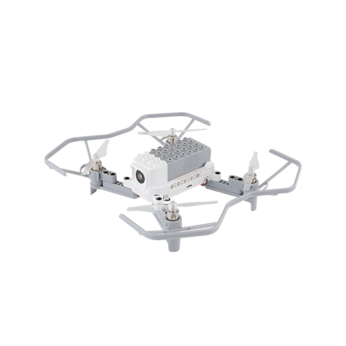
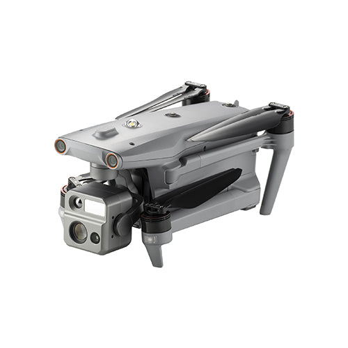
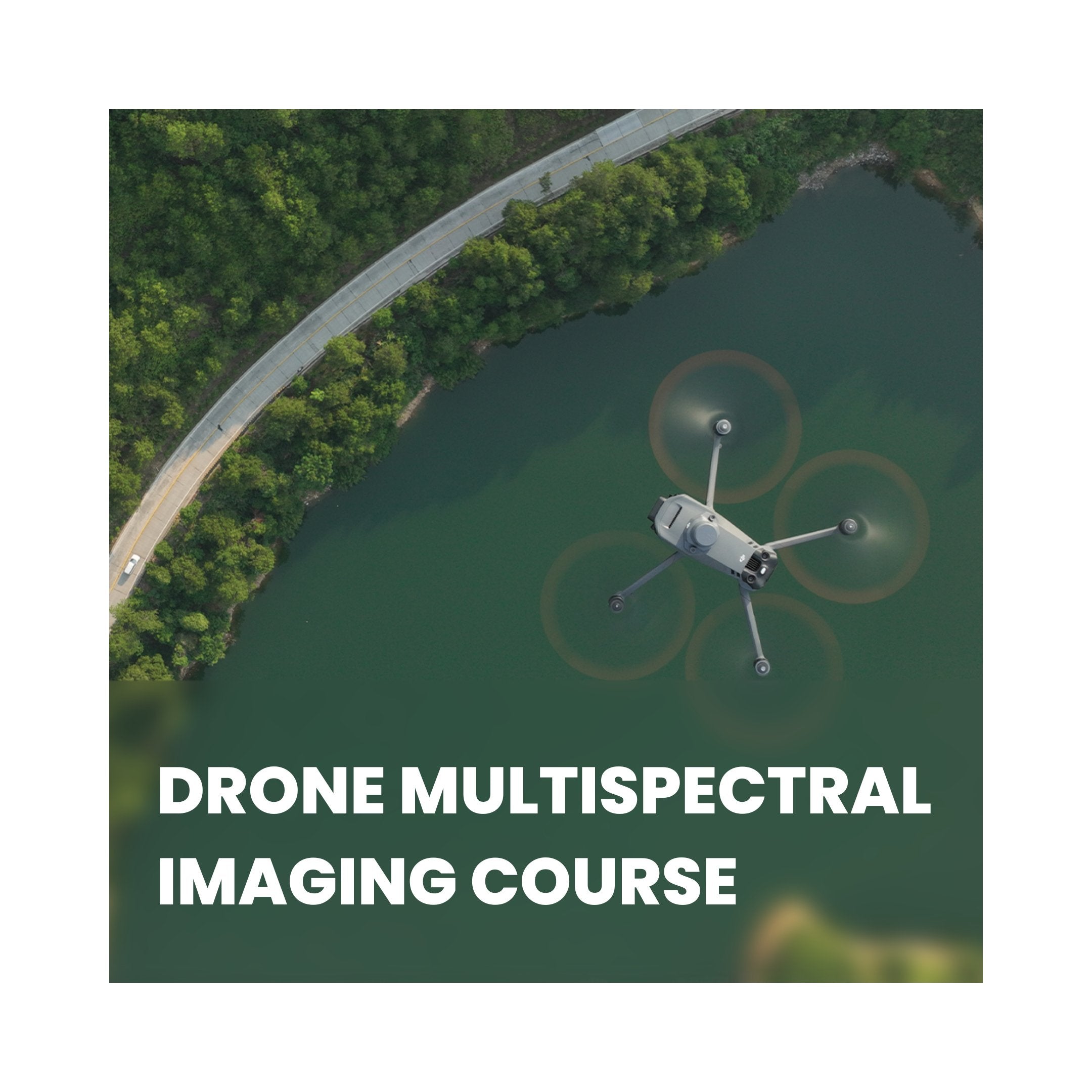
Drone Multispectral Imaging Course
Price excluding VAT
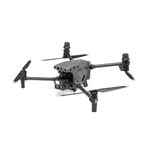
Learn multispectral imaging techniques for agricultural drone surveys and expand your drone business to include agricultural surveys using multispectral imaging payloads.
This two-day program is aimed at drone operators who wish to broaden their service offerings. It instructs participants in acquiring, processing, and interpreting multispectral images captured with a drone.
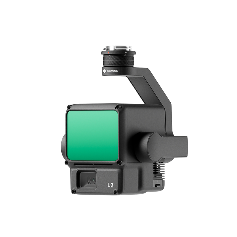
Multispectral imaging is an excellent resource for precision agriculture, offering insights into crop health, soil variation, and fertilizer application. This course is well-suited for those interested in advanced farming and agricultural practices. Multispectral imaging involves capturing information at distinct wavelengths across the electromagnetic spectrum. This technique, primarily employed in precision agriculture, allows farmers and agronomists to obtain valuable insights regarding the actual performance of their crops.
Course Topics & Modules:
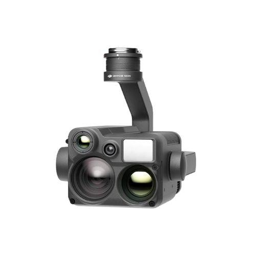
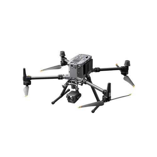
- Camera setup
- Camera operation
- Camera integration
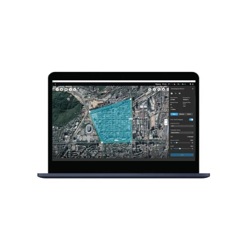
- Software Options
- Flight Planning
- Autonomous flights
- Image processing
- Workflow insight
- Crop health analysis
- Root structure analysis
- Sub-surface analysis
- Soil fertility analysis
- NDVI mapping
- NDRE mapping
- Reflectance mapping
- Multispectral reporting
We are here to help!
If you're having trouble finding the training course you're looking for, please don't hesitate to reach out to us. We're here to help you out in getting the perfect course of your choice.
Email: training@ired.ac.uk | Call: 01243370296
FAQ
General
You can find the basic details of each course on the website itself. If you want more information related to any of the training course available on our website, feel free to reach out to our experts via email: training@ired.ac.uk or phone: 01243370296
We accept all kinds of digital payment methods, including credit cards, PayPal, ShopPay, and other secure online payment options. You can also choose to pay via bank deposit or purchase order.
No, all the prices shown on our website exclude taxes. As per the government norms, we charge 20% VAT, and it gets calculated during the checkout process.
Our training sessions are mostly held near our head office in Emsworth, Hampshire (UK). For larger groups (4 delegates or more), we can offer training on your site, however this will be subject to external checks carried out by one of our instructors to ensure it is safe to operate.
Support
Definitely, we offer customized, on-site training solutions for groups of four or more individuals. These flexible and cost-efficient courses are conveniently brought directly to your location.
For more details, please reach out to us via email: training@ired.ac.uk or phone: 01243370296
We are a CAA authorised drone pilot training provider, if you are not able to find your desired course, please contact us via email: training@ired.ac.uk or phone: 01243370296 and we will try our best to get that course arranged for you.
Yes, we do provide discounts for bulk or corporate orders. For personalised assistance and pricing, please contact our sales team via email: training@ired.ac.uk or phone: 01243370296
Whether you are attending in-person or virtually, our instructors are always on hand to give additional support and one-to-one mentoring where required. If you would like to have a chat away from the group, then this can be done during break times or alternatively when the session finishes each day.
Other
Our team is happy to assist you with any kind of information or help you need, please reach out to us via email: training@ired.ac.uk or phone: 01243370296 for any queries.