Multispectral Drone Agriculture Survey

Improve crop health and maximise yield with multispectral imaging

Using the latest drone technology, we’re able to accurately determine crop health, density, diseased areas and soil fertility – giving our customers actionable insight to drastically reduce their farming costs.

UK Nationwide Coverage | CAA Approved Pilots | 10m Operating Safety Case

multispectral-imaging-report

UK NATIONWIDE COVERAGE

Our team of surveyors are based throughout the UK for nationwide coverage

IMPROVE CROP HEALTH

Our approved pilots can assess the health and vitality of individual crops

IMPROVE CROP HEALTH

Our approved pilots can assess the health and vitality of individual crops

IMPROVE CROP HEALTH

Our approved pilots can assess the health and vitality of individual crops

IMPROVE CROP HEALTH

Our approved pilots can assess the health and vitality of individual crops

ADVICE & RECOMMENDATIONS

Our team of experts are on-hand to provide advice and recommendations

LEARN MORE

Learn more about your crops with precision agriculture surveys

Reduce Costs

We highlight areas of concern for targeted preventative measures, reducing the need for widespread pesticide usage.

Monitor Crop Health

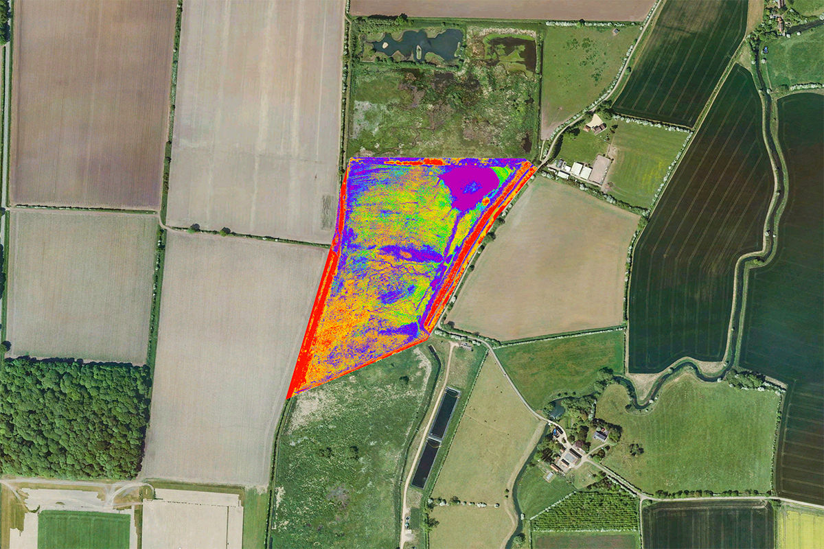
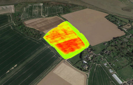
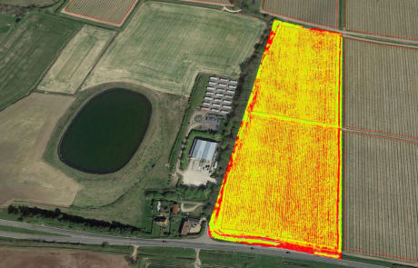
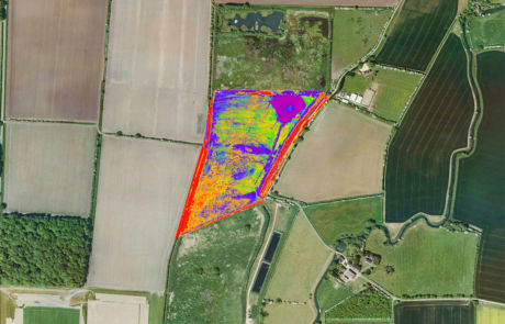
By surveying in the near-infrared wavelength, we can assess the health and vitality of individual crops.

Crop Counting

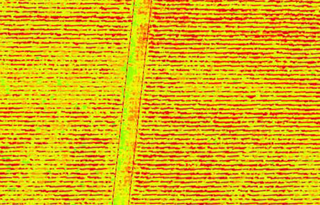
Using drones, we can determine the quality and density of individual crops for accurate yield estimations.

WE’RE PROUD TO HAVE THE LARGEST DRONE TEAM IN THE UK

Since 2002, iRed® has surveyed over half a million homes and buildings across the UK – helping local councils and housing associations improve their housing stock without wasting money.

AGRICULTURE SURVEYS FOR SMARTER CROP MANAGEMENT

Sustainably managed agricultural operations can help protect watersheds, improve soil quality and maximise yield. Using multispectral imaging, we’re able to:

  • Determine crop health and density

  • Optimise fertiliser and pesticide usage

  • Identify pests, weeds and diseased areas

  • Monitor soil health and water quality

  • Restore critical habitats

Drone Survey RolloverDrone Survey Rollover

UK NATIONWIDE COVERAGE

Our team of surveyors are based throughout the UK for nationwide coverage

ACCREDITED SURVEYS

We have the UK’s largest team of accredited category 2/3 thermographers

ADVICE & RECOMMENDATIONS

Our team of experts are on-hand to provide advice and recommendations

Anglian Water Client

“For us this is a massive achievement – it’s been an absolute pleasure working with iRed, and we’re now exploring further opportunities to utilise multispectral and thermal analysis going forward.”

Simon Armitt, Anglian Water @One Alliance

OUR CLIENTS

Our team of industry experts help clients revolutionise the way they operate, utilising new and emerging sensors to reach their carbon reduction goals

Anglian Water Client

UK NATIONWIDE COVERAGE

Our team of surveyors are based throughout the UK for nationwide coverage

ACCREDITED SURVEYS

We have the UK’s largest team of accredited category 2/3 thermographers

ADVICE & RECOMMENDATIONS

Our team of experts are on-hand to provide advice and recommendations

Groundbreaking drone inspections for industry

iRed® are the UK’s leader in thermal imaging, remote sensing and integrated drone solutions. Founded in 2002, our passionate team of industry experts help people and companies revolutionise their business with new and emerging inspection technologies.
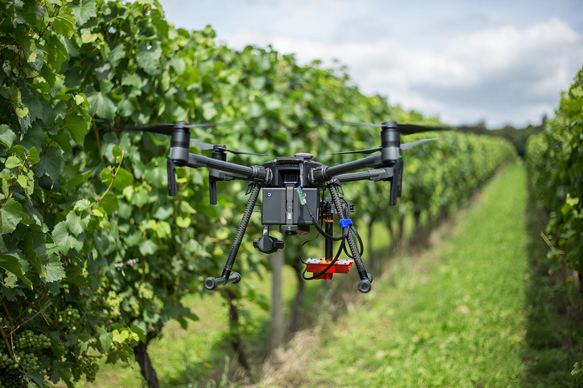
DJI Drone Multispectral Survey

PRECISION AGRICULTURE

Smarter crop management

Using specialist commercial drones and multispectral sensors, we can quickly identify poor performing crops for targeted preventative measures – drastically reducing the need for widespread pesticide and fertiliser usage.

SMART FARMING

Using drones to learn how your crops are really performing

Healthy crops reflect more green in the near-infrared wavelength. By capturing this data, we’re able to assess and analyse the vitality of individual crops – down to the individual leaves.

We’re also able to detect and monitor moisture and irrigation effectiveness. As such, we can discover any issues that might otherwise affect overall system performance.

What We Find

  • Crop Health & Density

  • Pests, Weeds & Diseased Areas

  • Crop Root Structure

  • Water Density

  • Soil Fertility

Where We Find It

  • Food Crops

  • Industrial Crops

  • Ornamental Crops

  • Feed Crops

  • Oil Crops

HOW DOES IT WORK?

Step One

Simply get in touch via our quote form and we’ll send you back a free, no obligation estimate the same day

Multispectral Imaging

Step Two

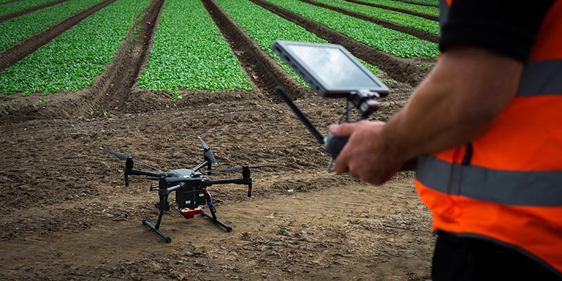
Our pilots will arrive on-site, setup a base station and start capturing multispectral, near-infrared and visual data

Multispectral Imaging

Step Three

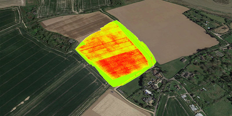
We’ll create orthomosiacs, digital surface models and vegetation index maps (NDVI, NDRE) within 3-5 days

Need something specific? Call our team on 01243 370 296 or email [email protected]

AGRICULTURE SURVEY FAQs

Precision agriculture is the practice of using multispectral sensors for progressive crop management. Also known as ‘smart farming’, precision agriculture surveys capture data in five narrow spectral bands. Using this data, we’re able to create health indexes and maps to better understand your crops.

Using the data collect from multispectral imaging, our team can highlight areas of interest for targeted preventative measures. In doing so, we drastically reduce the need for widespread pesticide and fertiliser usage.

iRed® proudly works in partnership with agronomists at the Langmead Group. This collaboration enables us to pioneer new techniques and practices for industry, focusing our efforts towards effective data collection for the future of farming.

A typical flight is between 20-30 minutes, depending on the drone and payload.

Whilst these flight times might not sound like much, it’s important to note that we’ll undertake several flights during a survey – ensuring every elevation is captured in high-resolution. During a drone survey, we’ll operate from a remote base station where we can safely backup data after each flight. This enables us to quickly check your data and swap batteries, typically within 3-4 minutes.

To accurately assess vineyards, farmland and high-value crops, it’s recommended that certain environmental conditions are met on the day of survey.

Ideally, our surveys will start 2 hours before the sun is at its highest point. Subsequently, surveys can be expected to end approximately 2 hours after solar noon. These conditions allow us to collect detailed data, which is key for advanced methods of processing. Equally, to avoid the effects of shadowing it’s recommended that surveys are undertaken during clear skies (or a consistent overcast).

For the best results, we recommend that crops are inspected at regular intervals. This provides a full understanding of your fields, and allows us to map changes over time.

We can typically fly in winds up to 17mph, so long as there is no rain.

Under UK law, we’re able to fly up to 400ft (120m) above ground level, and up to 500m away from the pilot (whilst maintaining visual line-of-sight).

For specific projects, we’re able to fly beyond these restrictions using our specialist OSC (Operating Safety Case). OSC flights are conducted on a case-by-case basis, depending on your local area. If you think your survey might require extended permissions, get in touch with our team on +44 (0)1243 370 296 and we’ll help plan the best way to capture your data.

GET YOUR FREE
ESTIMATE TODAY

Let’s talk about your business goals