UK NATIONWIDE COVERAGE

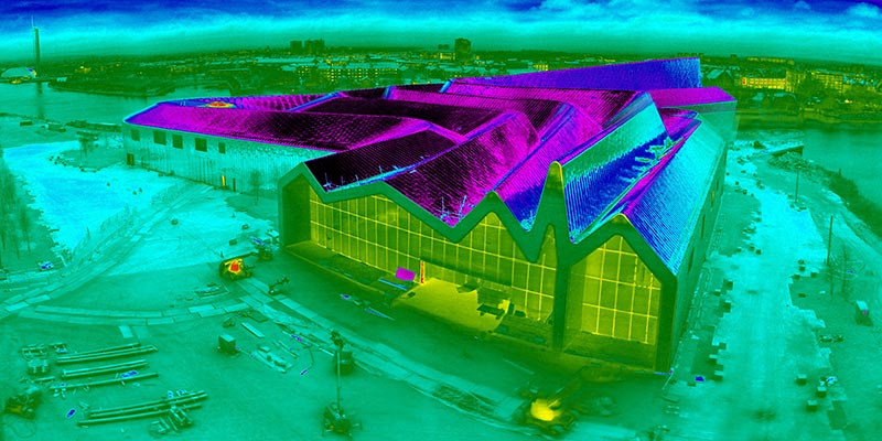
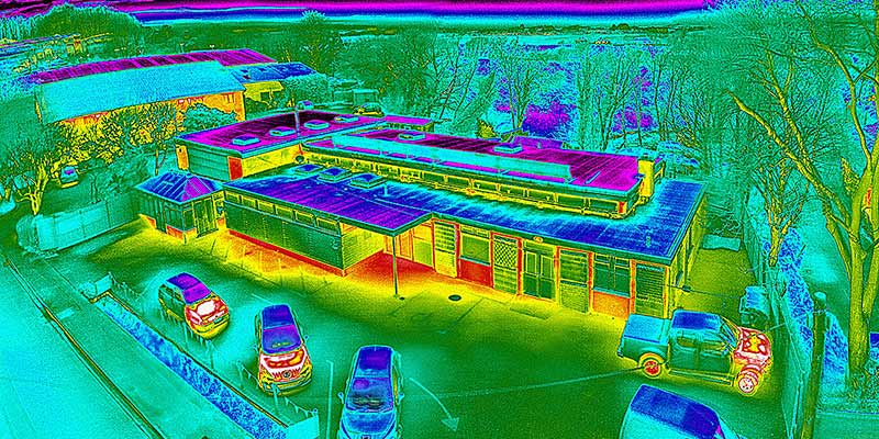
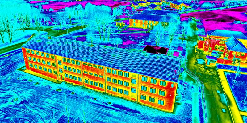
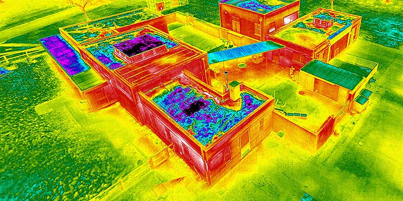
AERIAL VISUAL & THERMAL IMAGING DRONE SURVEY

Quickly inspect roofs and hard to reach areas with a drone survey, designed to cover large areas quickly.

NHBC Preferred Supplier
iRed Google Reviews
CAA Approved Drone Operators

SPECIALIST DRONE SURVEYS FOR HARD-TO-REACH AREAS

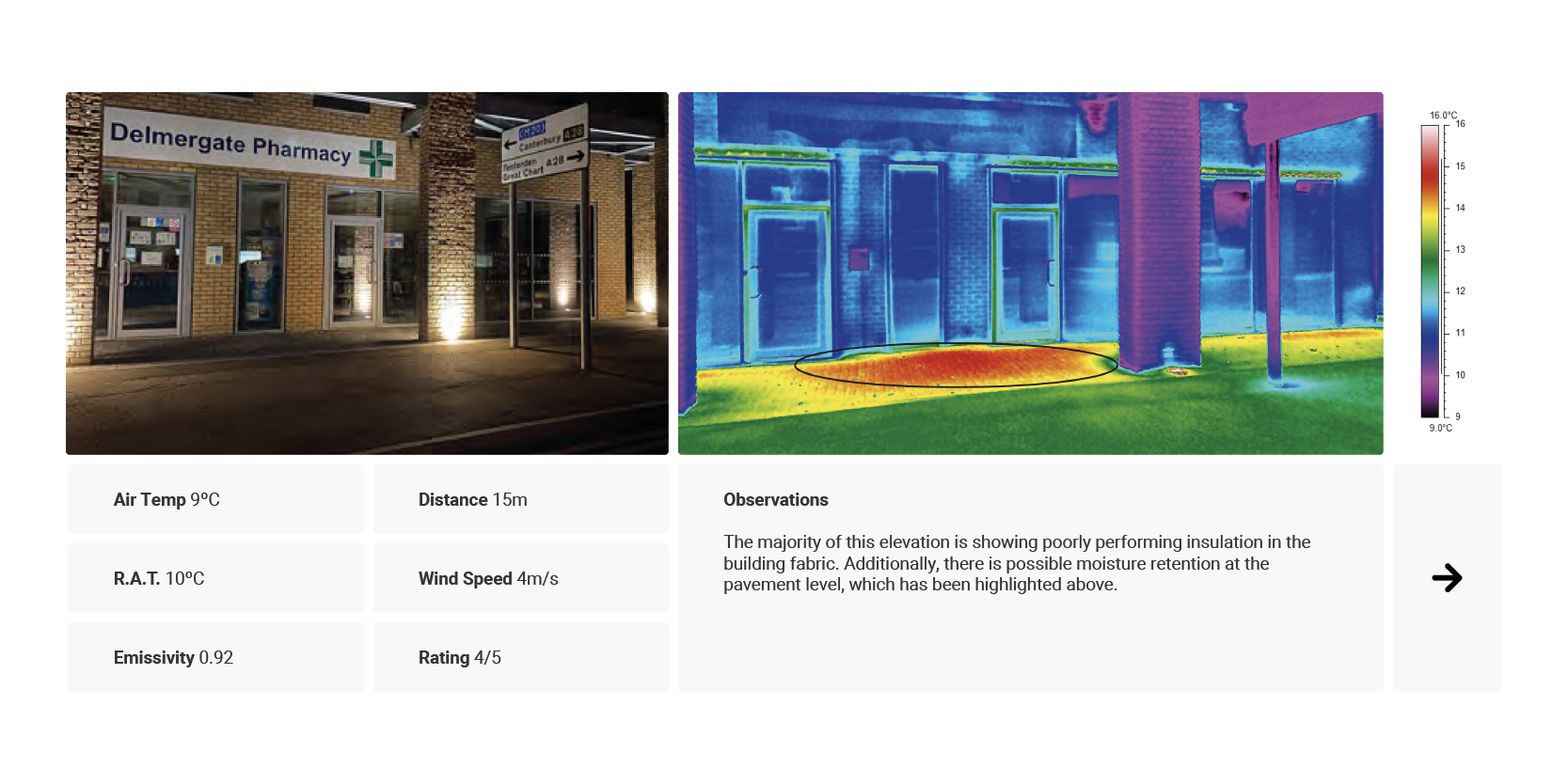
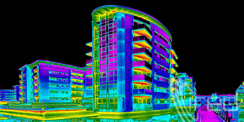
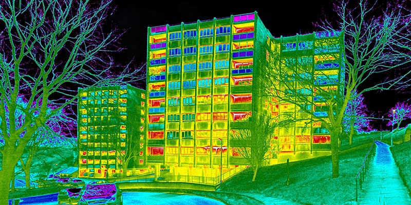
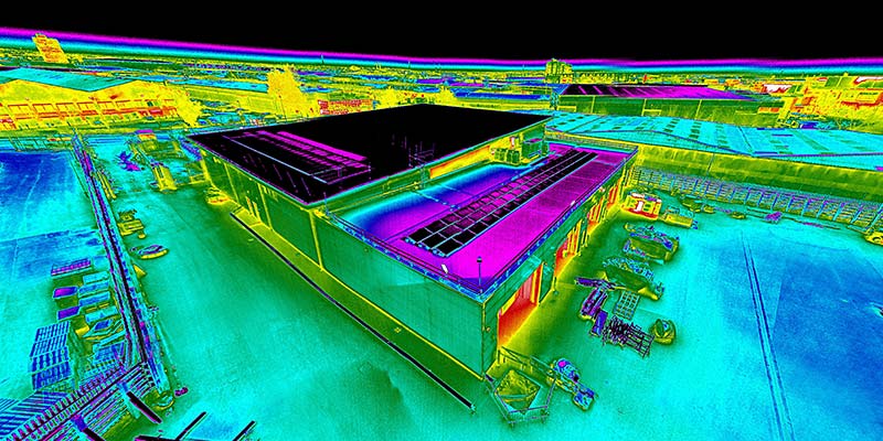
Our expert drone surveys give you a complete overview of your buildings, assets and land – quickly identifying any potential heat loss and providing you with a detailed report using both visual and thermal sensors.

Drone Survey RolloverDrone Survey Rollover

CAN’T HAVE A DRONE SURVEY IN YOUR AREA? WE’VE GOT YOU COVERED.

iRed® have been awarded a specialist 10m Operating Safety Case (OSC) from the CAA, enabling us to fly outside of the restrictions of standard drone operators.

For extremely congested areas (such as London), we operate a 102ft vehicle-mounted mast, ensuring we can meet the needs of any project.

WE’RE PROUD TO HAVE THE LARGEST DRONE TEAM IN THE UK

Since 2002, iRed® has surveyed over half a million homes and buildings across the UK – helping local councils and housing associations improve their housing stock without wasting money.

WHAT’S INCLUDED WITH A DRONE THERMAL IMAGING SURVEY?

To help your organisation achieve its energy savings and carbon reduction goals, our dedicated team of consultants and accredited surveyors will provide:

  • Non-invasive visual and thermal inspection

  • Detailed digital report and analysis

  • Retrofit prioritisation using heat loss values

  • Technical insight for tender publication

  • Maximum impact for minimal spend

Drone Thermal Imaging Survey

UK NATIONWIDE COVERAGE

Our team of surveyors are based throughout the UK for nationwide coverage

ACCREDITED SURVEYS

We have the UK’s largest team of accredited category 2/3 thermographers

ADVICE & RECOMMENDATIONS

Our team of experts are on-hand to provide advice and recommendations

“iRed have proved themselves to be very flexible in fitting in with our policies and procedures, the engineers have been very efficient and I have been impressed with the final presentation of the results.”

Paul Harding, NHS

OUR CLIENTS

Our team of industry experts help clients revolutionise the way they operate, utilising new and emerging sensors to reach their carbon reduction goals

Brighton and Hove Council
Croydon Council

WE STAND BY OUR WORK AS THE BEST IN INDUSTRY

Other Consultancies

  • Not qualified to national standards

  • Basic reports without image analysis

  • Invalid environmental conditions

  • Insufficient company insurance

  • Unsuitable low-resolution thermal cameras

  • Not capable of aerial thermal imaging surveys

  • Additional charges for consultation and advice

Why companies use iRed®

  • Accredited to ISO 18436 and ISO 6781 standards

  • Comprehensive reports with retrofit prioritisation

  • Operating to ISO 13187 standards

  • £5m Public & £10m Employers liability insurance

  • High-resolution commercial thermal cameras (1024×768)

  • CAA Approved Drone Pilots (and 102ft mast)

  • Free aftercare, troubleshooting and advice

LET’S HAVE A CHAT

Whether you’re looking to retrofit your housing stock or improve energy efficiency, get in touch with our team to find out how we can help.

GOT A PROJECT IN MIND?

Already have a project in mind? Complete our estimate form below and we’ll get back to you today with a free, no-obligation quote.

YOU MAY ALSO BE INTERESTED IN

Building Survey Thermal Imaging

BUILDING SURVEY

We work with leading developers nationwide to verify that their buildings have been built as designed.

BREEAM® SURVEY

We help local councils meet their sustainability targets by identifying poorly performing housing stock.

DRONE SURVEY

We survey everything, from office blocks and commercial buildings to warehouses and military infrastructure.

DRONE SURVEY FAQs

A typical flight is between 20-30 minutes, depending on the drone and payload.

Whilst these flight times might not sound like much, it’s important to note that we’ll undertake several flights during a survey – ensuring every elevation is captured in high-resolution. During a drone survey, we’ll operate from a remote base station where we can safely backup data after each flight. This enables us to quickly check your data and swap batteries, typically within 3-4 minutes.

We can typically fly in winds up to 17mph, so long as there is no rain.

Whilst visual inspections can be conducted with very light rain, for thermal imaging it’s recommended that buildings and assets are dry before a survey. This is to avoid any potential cooling effects, which can ultimately hide performance issues and building defects.

Under UK law, we’re able to fly up to 400ft (120m) above ground level, and up to 500m away from the pilot (whilst maintaining visual line-of-sight).

For specific projects, we’re able to fly beyond these restrictions using our specialist OSC (Operating Safety Case). OSC flights are conducted on a case-by-case basis, depending on your local area. If you think your survey might require extended permissions, get in touch with our team on +44 (0)1243 370 296 and we’ll help plan the best way to capture your data.

Absolutely!

We’ve been awarded a specialist 10m Operating Safety Case (OSC) from the CAA, enabling us to fly outside of the restrictions of standard drone operators.

For extremely congested areas (such as London), we operate a 102ft vehicle-mounted mast, ensuring we can meet the needs of any project.

The use of drone technology is becoming more and more commonplace in today’s world, especially as they become more accessible to industry. Drones are able to quickly inspect large areas in a fraction of the time, all whilst reducing the risk of working at height.

Unlike other drone service providers, we believe drones are a tool to get sensors (such as visual cameras or thermal imaging cameras) into a better vantage point. For congested areas (such as London), this isn’t always possible – which is why we also operate a 102ft pneumatic mast. In certain situations, we’ve been able to achieve the same results simply by surveying a target from an adjacent building.

No matter your project, we have the tools and expertise to get the job done. Whether you’re specifically looking for a drone survey or simply need an aerial view, chat with our team and we’ll help determine the best solution for your requirements.

We’ve been providing drone thermal imaging surveys since 2005, before drones were a mainstream inspection tool. Since then, iRed® has grown to become the only CAA Approved training centre with an active drone surveying team. This means that our pilots really are the best in industry.